US 11,816,885 B1
Systems and methods for assessing property development condition
Emily Margaret Gray, San Antonio, TX (US); Daniel Christopher Bitsis, Jr., San Antonio, TX (US); Robert Wiseman Simpson, Fair Oaks Ranch, TX (US); Manfred Amann, San Antonio, TX (US); Donnette Moncrief Brown, San Antonio, TX (US); Eric David Schroeder, San Antonio, TX (US); Meredith Beveridge, San Antonio, TX (US); Michael J. Maciolek, Boerne, TX (US); Bobby Lawrence Mohs, San Antonio, TX (US); Brian F. Shipley, Plano, TX (US); Justin Dax Haslam, San Antonio, TX (US); Qunying Kou, San Antonio, TX (US); and Ashley Raine Philbrick, San Antonio, TX (US)
Assigned to United Services Automobile Association, San Antonio, TX (US)
Filed by United Services Automobile Association (USAA), San Antonio, TX (US)
Filed on Dec. 12, 2022, as Appl. No. 18/064,606.
Application 18/064,606 is a continuation of application No. 16/828,481, filed on Mar. 24, 2020, granted, now 11,527,061.
Claims priority of provisional application 62/826,314, filed on Mar. 29, 2019.
Int. Cl. G06V 20/10 (2022.01); B64C 39/02 (2023.01); G05D 1/00 (2006.01); G06Q 50/08 (2012.01); G06Q 50/16 (2012.01); G06T 7/00 (2017.01); B64U 101/30 (2023.01)
CPC G06V 20/176 (2022.01) [B64C 39/024 (2013.01); G05D 1/0027 (2013.01); G05D 1/0094 (2013.01); G06Q 50/08 (2013.01); G06Q 50/163 (2013.01); G06Q 50/165 (2013.01); G06T 7/001 (2013.01); B64U 2101/30 (2023.01); G06T 2207/10032 (2013.01)] 20 Claims
OG exemplary drawing
 
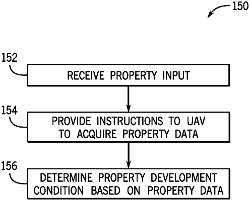
1. A system, comprising:
communication circuitry configured to communicate with a controller of an unmanned aerial vehicle; and
a processor configured to:
receive first image data of a property;
identify a construction stage of the property based on the first image data;
receive weather data corresponding to a time period during the construction stage;
determine a development condition of the property based on the weather data and on a presence or absence of a construction feature of the first image data;
determine an estimated time to complete the construction stage of the property based on the development condition; and
instruct the controller of the unmanned aerial vehicle to obtain second image data based on the estimated time to complete the construction stage of the property.