| CPC G01S 17/58 (2013.01) [G01S 17/42 (2013.01); G01S 17/894 (2020.01); H04W 4/023 (2013.01)] | 4 Claims |
|
1. A method comprising:
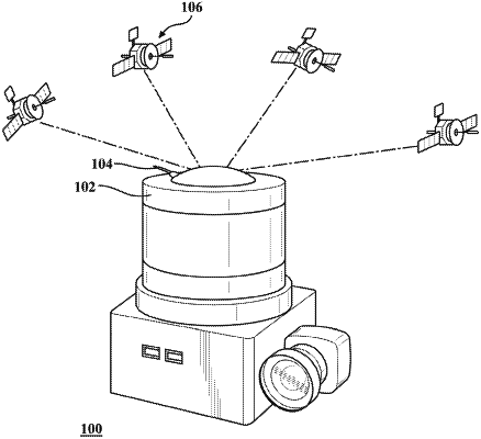
generating a point cloud comprising both positional and pose data from a mapping system comprising a LIDAR and a retro-reflector along a first trajectory;
receiving, while generating the point cloud, data from a total station comprising a second trajectory, the received data comprising a position of the mapping system relative to a position of the total station;
adjusting the first trajectory based, at least in part, on the second trajectory; and
determining a relative timing correlation by correlating speeds of the first trajectory and the second trajectory, wherein correlating the speeds comprises maximizing a sum of one or more products by adjusting a time offset of one or more pairs of synchronized data points.
|