| CPC G08G 5/006 (2013.01) [G05D 1/0202 (2013.01); G08G 5/0021 (2013.01); G08G 5/0052 (2013.01); G08G 5/0069 (2013.01)] | 20 Claims |
|
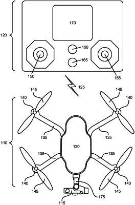
1. An unmanned aerial vehicle (“UAV”), the UAV comprising:
an electric speed controller interfaced with thrust motors of the UAV; and
a flight controller configured to:
determine a geographic location and a velocity of the UAV, wherein the velocity includes a first component and a second component;
determine a distance between the geographic location of the UAV and a closest segment of a no-fly-zone;
in response to the distance being less than a threshold distance, control a speed and thrust applied by the thrust motors through the electric speed controller to modify the first component and the second component of the velocity of the UAV based on the distance; and
override a user input received via a user interface so that the UAV is moved relative to the closest segment of a no-fly-zone according to instructions from the flight controller.
|