| CPC G01C 21/3461 (2013.01) [G01C 21/20 (2013.01); H04W 4/02 (2013.01)] | 20 Claims |
|
1. A system, comprising:
one or more processors; and
a memory storing instructions that, when executed by the one or more processors, cause the system to perform:
obtaining location information for a location;
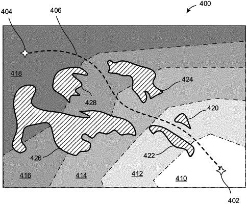
determining a set of buffers within the location based at least in part on the location information, the set of buffers comprising a first buffer and a second buffer, the first buffer indicating a first permitted path and being adjacent to or within a portion of a first restricted region and the second buffer indicating a second permitted path and being adjacent to or within a second portion of a second restricted region;
determining a set of paths within the location based on:
a size of the first buffer;
a second size of the second buffer; or
an amount of overlap between the first buffer and the second buffer; and
providing an interface through which a map representation of the set of paths, the first restricted region, the second restricted region, the first buffer, and the second buffer within the location are accessible and manipulatable based at least in part on user interactions with the interface.
|